
A powerful winter storm is set to slam parts of New York beginning Sunday morning (22), with the National Weather Service issuing a blizzard warning from 6 a.m. Sunday through 6 p.m. Monday (23).
The warning covers all five boroughs of New York City, Manhattan, the Bronx, Brooklyn, Queens and Staten Island, as well as Westchester, Nassau and Suffolk counties.
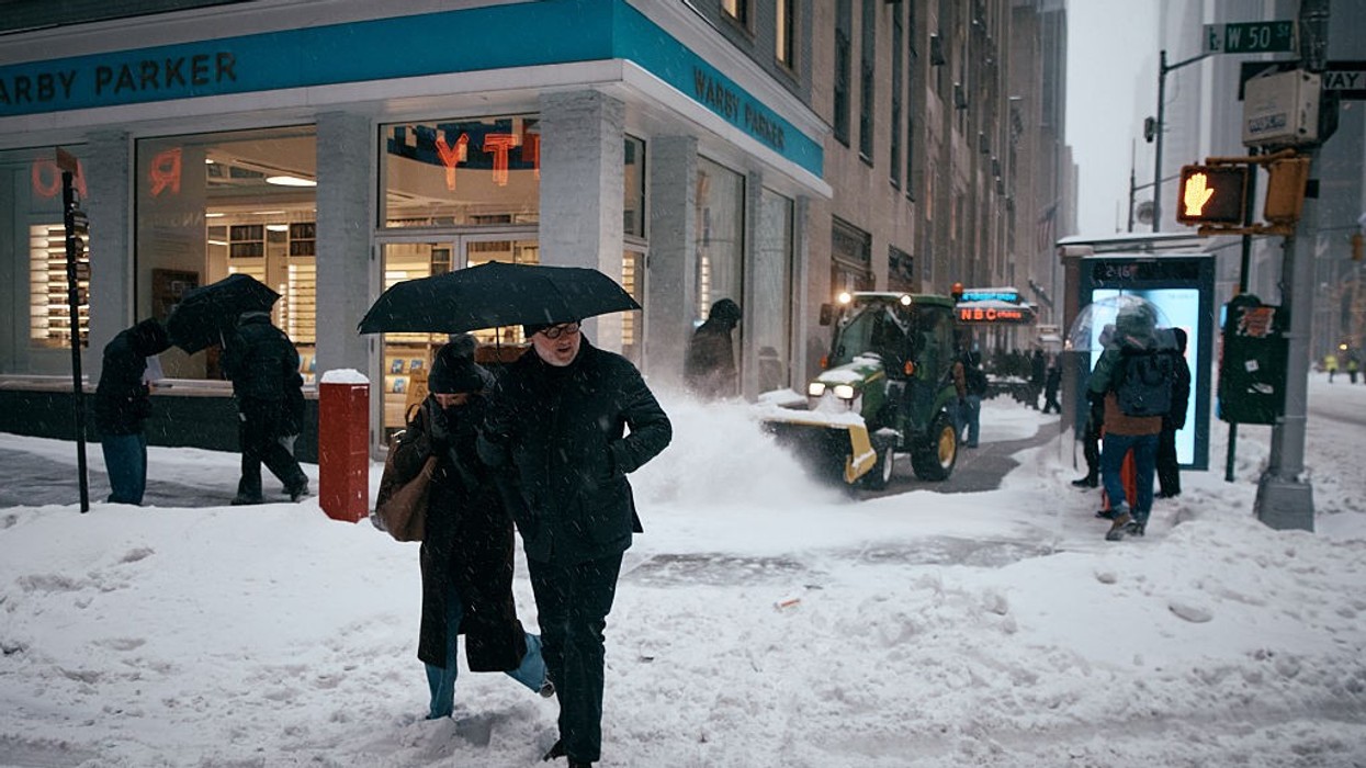
Forecasters expect total snow accumulations between 13 and 18 inches, accompanied by wind gusts as high as 55 mph. The most severe conditions are anticipated Sunday night (22) into Monday (21), though snowfall will begin earlier Sunday (22) during the morning and afternoon hours.
Blizzard conditions mean sustained or frequent gusts of at least 35 mph combined with falling and blowing snow that reduces visibility to one-quarter mile or less for three hours or more. Officials warn that visibilities could drop below a quarter mile at times, creating whiteout conditions and making travel extremely dangerous, and potentially life-threatening.
Strong winds combined with the heavy weight of accumulating snow may bring down tree limbs and power lines, leading to scattered power outages. The hazardous weather could significantly disrupt both the Monday morning (23) and evening commutes.
Authorities strongly advise residents to avoid travel unless absolutely necessary. Those who must travel should carry a winter survival kit and remain with their vehicle if stranded. Drivers are urged to check local Department of Transportation updates for the latest road conditions.
A blizzard warning signals that severe winter weather is expected or already occurring. Residents are encouraged to prepare now and take the storm seriously.