
Highlights
- Hurricane Gil intensifies with sustained winds of 75 mph as it enters the Central Pacific Basin
- Pacific Ocean currently experiencing multiple tropical disturbances
- Iona weakens near the International Dateline and poses no threat to land
- New systems forming near Central America and Mexico could develop over the coming days
- Fire Weather Warnings issued for Hawaii due to sea conditions
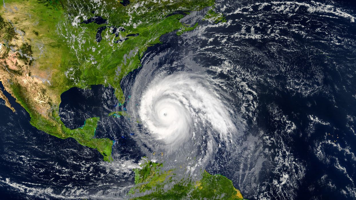
Forecasters are closely tracking Hurricane Gil, which has strengthened while moving into the Central Pacific Basin, part of an unusually active period in the Pacific Ocean.
According to the National Hurricane Center (NHC), Gil is currently located around 1,100 miles southwest of Mexico’s Baja California Peninsula, with maximum sustained winds of 75 mph. The system is moving west-northwest as it progresses further into the open Pacific.
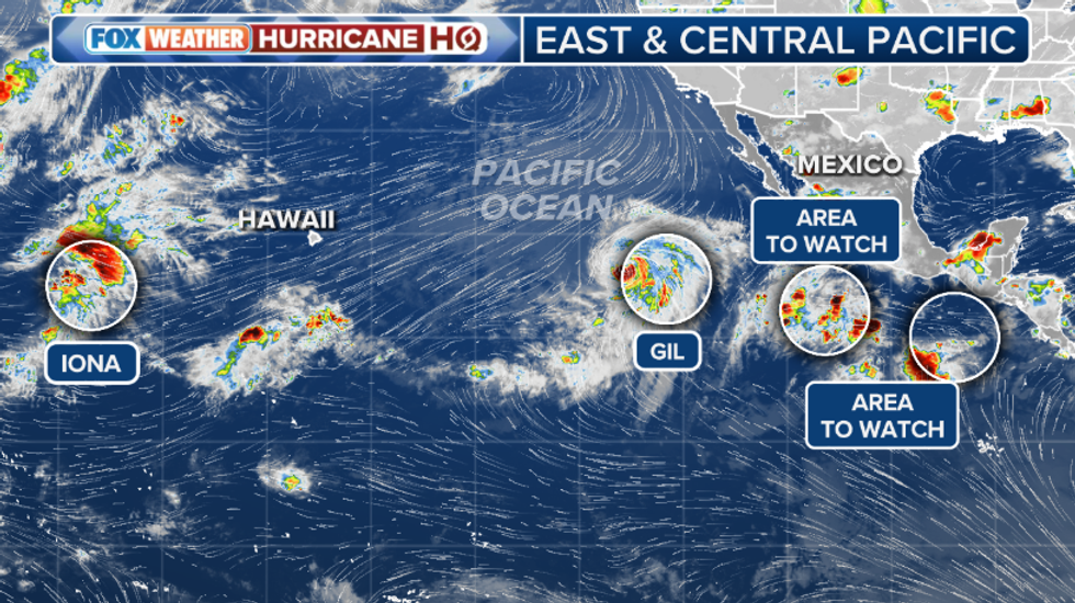 Though none of the Pacific systems are expected to make landfall in HawaiiFOX Weather
Iona weakens as other systems emerge
While Gil intensifies, Cyclone Iona has continued to weaken. As of Friday, it lies approximately 1,500 miles west of Hawaii near the International Dateline, and is now considered only a marine interest, with no expected impact on land.
Another system, Invest 92C, located just east of Iona, encountered unfavourable atmospheric conditions and is no longer expected to develop, according to the NHC.
New tropical threats developing near Central America and Mexico
Forecasters are also monitoring two emerging systems:
- One south-west of Mexico, which now has a high chance of tropical development within the next seven days
- Another south of Central America, which currently holds a low chance of formation over the same period
While none of these systems currently threaten populated areas directly, meteorologists are keeping a close watch as the situation evolves.
Impact on Hawaii and Atlantic outlook
Though none of the Pacific systems are expected to make landfall in Hawaii, they are churning up the seas, leading to increased wave activity and prompting Fire Weather Warnings across parts of the state.
Meanwhile, forecasters note that the large-scale atmospheric pattern fuelling Pacific activity is likely to shift into the Atlantic by next week, potentially triggering tropical development in the currently quiet basin.