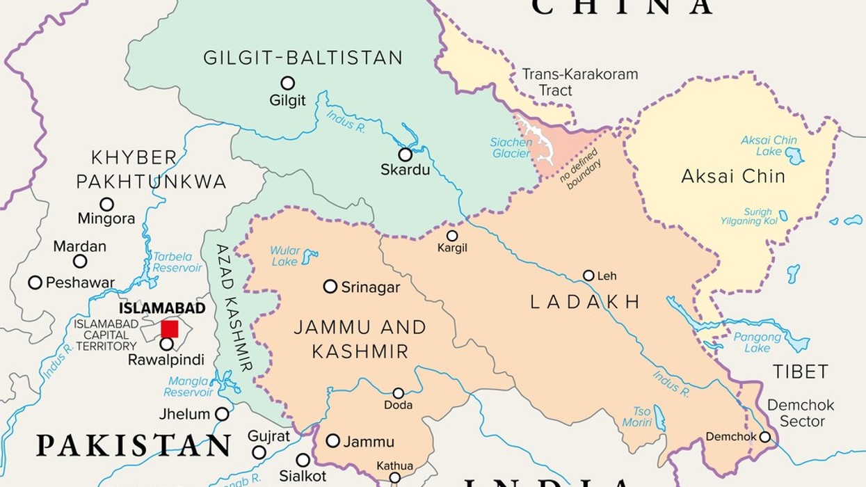

The Office of the United States Trade Representative (USTR) has deleted a social media post that included a map of India portraying the entire region of Jammu and Kashmir, including Pakistan-occupied Kashmir (PoK), as well as Aksai Chin, as part of Indian territory.
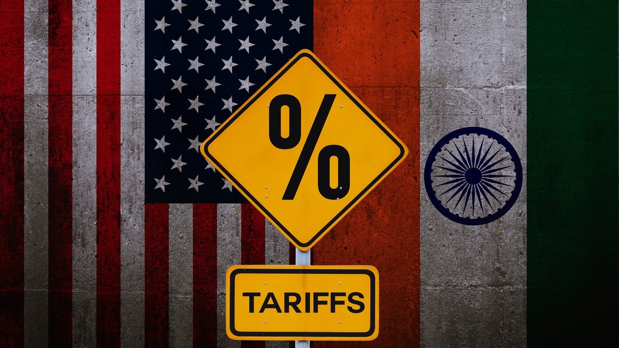
The post was shared last week on X, formerly known as Twitter, after the United States and India announced details of a bilateral interim trade agreement framework. Along with information about the trade deal, the USTR account displayed a map of India that showed the full Jammu and Kashmir region, without demarcation lines, within India’s borders. The map also included Aksai Chin, a region claimed by China, as Indian territory.
The specific post containing the map has since been removed from the USTR’s X account. No official explanation has been issued regarding its deletion.
In previous instances, maps depicting India in international communications have often included boundary markings to indicate disputed areas such as PoK and Aksai Chin. However, the now-deleted USTR map showed these regions as integral parts of India without any visible distinction.
New Delhi has consistently maintained that the entire Union Territory of Jammu and Kashmir “has been, is, and will always be” an integral and inalienable part of India. India also asserts that Aksai Chin belongs to it, citing historical claims and past agreements.
China, for its part, has included Aksai Chin and Arunachal Pradesh in its own official “standard maps,” along with Taiwan and areas in the South China Sea.
The map controversy comes shortly after India and the US announced a framework for the first phase of a bilateral trade agreement aimed at reducing tariffs and expanding two-way trade.